How to Find the Distance Between Two Spaces by Drawing a Line in Windows Maps
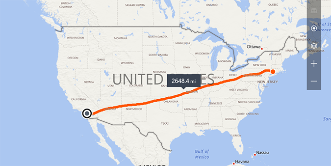
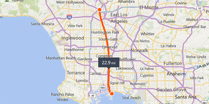
Windows Maps was first unveiled in the Creators Update, and it already has some pretty exciting features. One of my favorites is the integration with Windows Ink Workspace which allows you to draw a line between two points using your finger or a stylus (on touch-enabled devices) for instant directions, or the distance between the two waypoints.
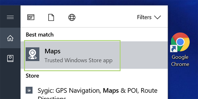
1. Open Windows Maps.
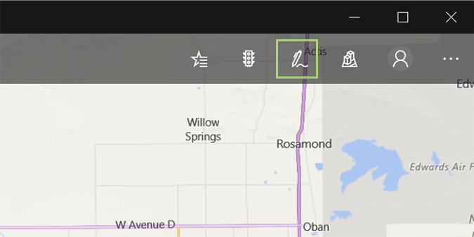
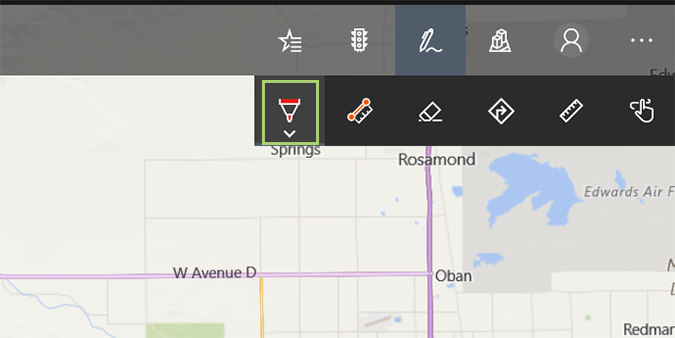
2. Select the pen icon in the upper right above the map.
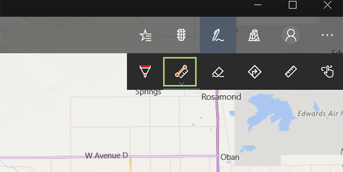
3. For distance, select the measure distance icon in the drop-down menu. It’s the second from the left.
4. Now, just draw a line between two points. You can draw a line between cities, across oceans, or even landmarks like the Grand Canyon to see how far it is from one side to the other.
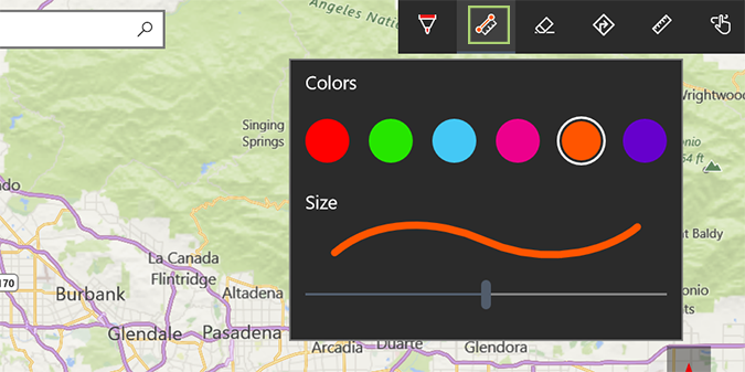
5. Click the measure distance icon once more to change colors, or the size of the line.
6. If you’d prefer to get directions between two points, click the ballpoint pen icon instead. It’s the icon furthest to the left in the menu.
Windows 10 Performance and Productivity
- Best Windows 10 Keyboard Shortcuts
- MIrror Your Screen to a TV or Monitor
- Speed Windows 10 Boot Time
- Get Superfast Mouse, Touchpad Speeds
- Calibrate Your Monitor
- Activate 'God Mode'
- Defragment Your Hard Drive
- Measure the Time it Takes for Apps to Load at Boot
- Use Maximum CPU Power
- Enable Swipe to Delete in Email
- Copy and Paste at the Command Prompt
- Record Video of an App
- Use Offline Maps
- Get the Full Layout in Windows 10’s Touch Keyboard
- Create a .Reg File for Easy Registry Hacks
- Record PC Gameplay on the Xbox App
- Perform a Clean Install of Windows 10
- Uninstall Windows 10 and Roll Back to 7 or 8
- Enable the Linux Bash Shell
- Generate a Detailed Battery Report
- Turn a PC into a Wireless Display
- Open Folders in the Taskbar
- Open Sites in the Taskbar
- Import Gmail Contacts
- Get Android Notifications
- Use Multiple Desktops
- Use Eye Control
- Use the Timeline Feature to Resume a Task
- Send Web Pages from Phone to PC
- All Windows 10 Tips
- Increase your Battery Life
Bryan covers everything you need to know about Windows, social media, and the internet at large for Laptop Mag. Thanks to his extensive knowledge of operating systems and some of the most popular software out there, Bryan has written hundreds of helpful guides, including tips related to Windows 11 drivers, upgrading to a newer version of the OS, editing in Microsoft Photos, or rearranging pages in Google Docs.
